Your images to 3D in seconds.

Integrate 3D reconstruction into your applications with just a few lines of code. Fast processing, transparent pricing and easy integration.

Reali3 Photogrammetry API
Use Cases

Reali3 in your industry
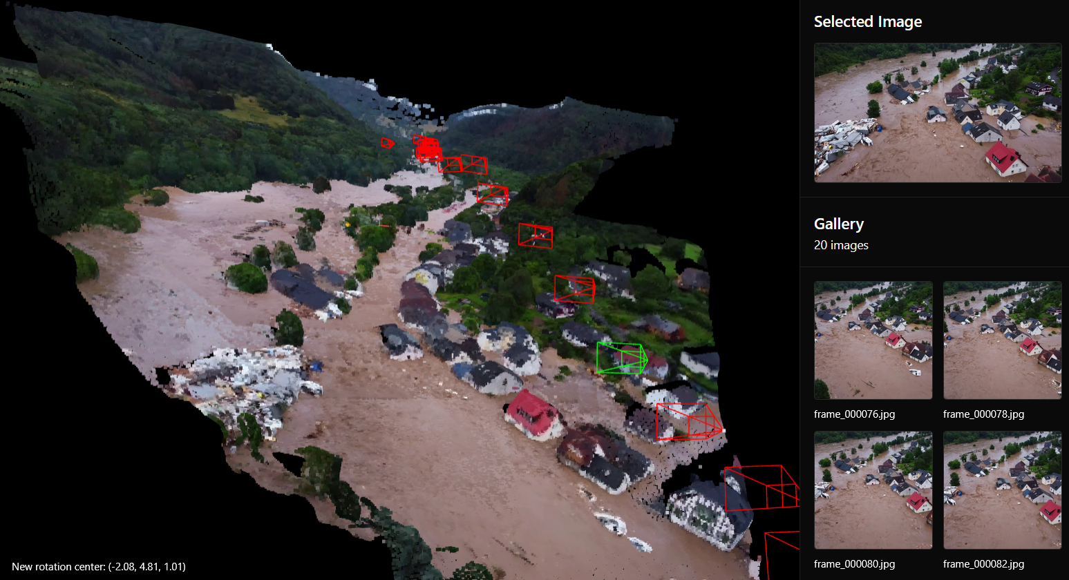
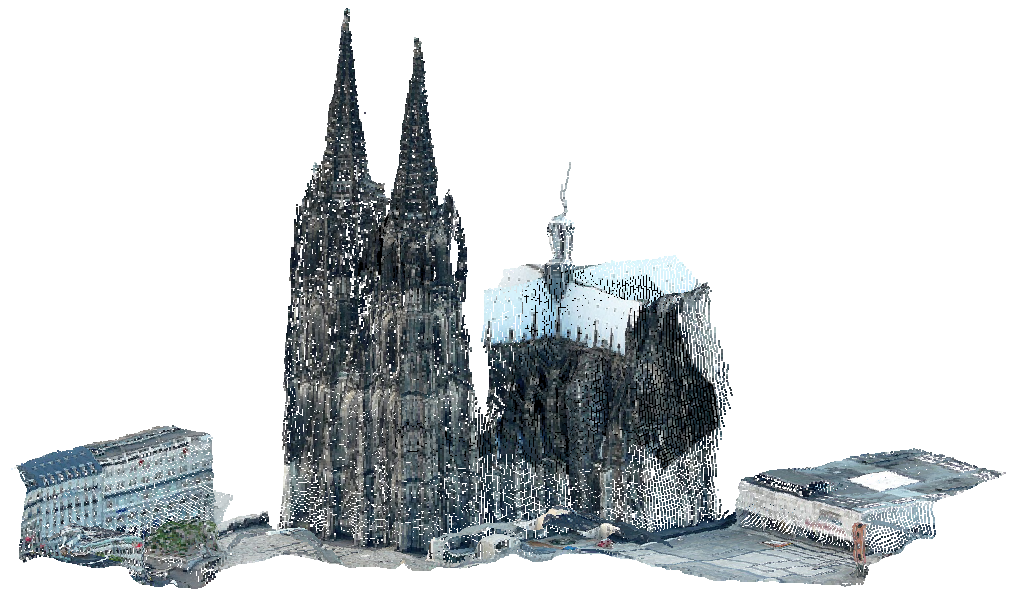
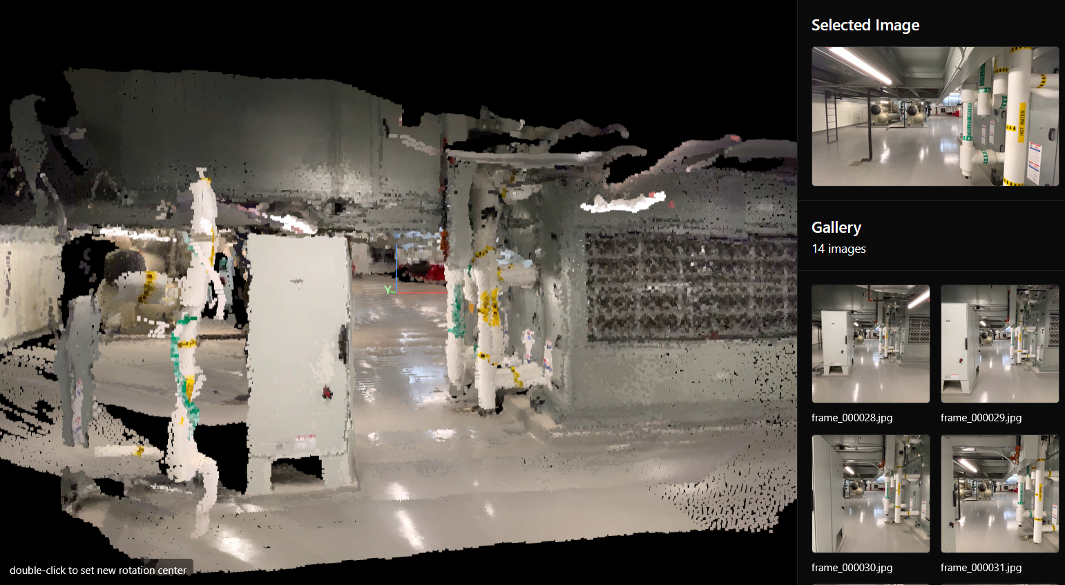
Situation overview use case

Situation Overview

Generate comprehensive 3D situation overviews from site photos. Perfect for construction planning, site documentation, and progress tracking.
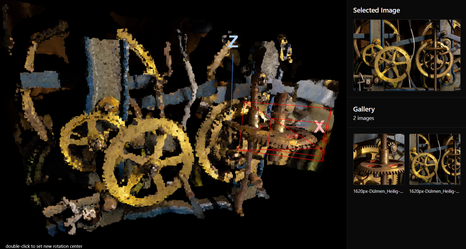
CAD use case

CAD

Create precise 3D models from photographs for CAD workflows. Measure parts virtually, export to standard formats, and integrate seamlessly into your design process.
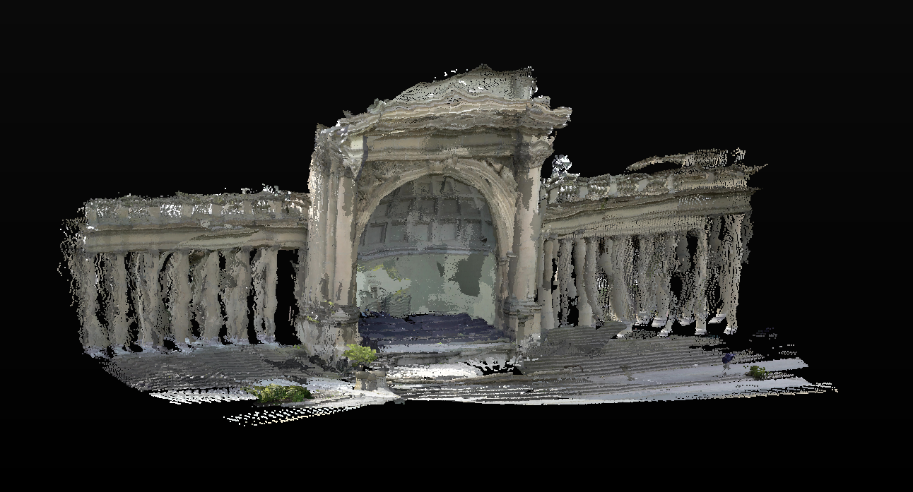
Gaming use case

Gaming

Transform real-world locations into game assets. Create detailed 3D environments from photographs for immersive gaming experiences.
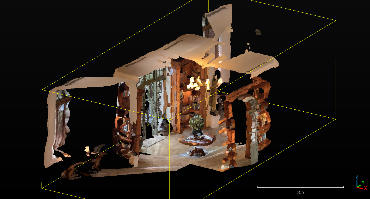
Interior design use case

Interior Design

Capture existing spaces in 3D for interior design projects. Visualize renovations, plan layouts, and present designs with accurate room models.

BIM use case

BIM

Support Building Information Modeling workflows with accurate as-built documentation. Compare design models with reality and track construction progress.

Why use Reali3 API

Enterprise-grade photogrammetry API

Integrate 3D reconstruction into your business applications with a simple REST API. Built for automation, scalability, and enterprise workflows.

Building in-house

  • Expensive infrastructure and development
  • Months of engineering time
  • High maintenance and scaling costs
  • Complex deployment and updates

With Reali3 API

  • Simple REST API integration
  • Get started in minutes, not months
  • Fully managed, scalable infrastructure
  • Transparent pricing: 100 images for $10
Features

Everything you need for enterprise integration

Our REST API provides all the tools you need to integrate photogrammetry into your business applications and workflows.

Fast Processing

3D reconstructions complete in seconds to minutes, perfect for high-volume workflows.

REST API

Simple HTTP requests with comprehensive documentation. Integrate in minutes.

Multiple Formats

Export to OBJ, PLY, GLTF, LAS, and more. Compatible with all major CAD and 3D software.

Single Image Support

Create 3D reconstructions starting from just one image. Support for multiple images and videos (MP4, MOV) with automatic metadata processing.

Camera Pose Estimation

Automatic camera pose estimation for every image, enabling sensor fusion with IMU, GPS, and other sensor data for advanced applications.

Scalable Infrastructure

Fully managed cloud infrastructure that scales with your business needs.

How it works

Integrate photogrammetry into your applications

Get started with our REST API in minutes. Simple HTTP requests, comprehensive documentation, and enterprise-grade infrastructure.

01

Get your API key

Sign up and generate your API key from the dashboard. No credit card required to start.

02

Upload images via API

Send images or videos to our API endpoint. Support for multiple file formats and automatic metadata processing.

03

Automatic processing

Our photogrammetry engine processes your images automatically. Check status via API endpoint.

04

Download your model

Retrieve your 3D model in your preferred format (OBJ, PLY, GLTF, LAS and more) via API download endpoint.

Pricing

Simple, transparent pricing

Pay per image, not per reconstruction. No recurring subscriptions, no hidden fees.

FAQ

Frequently Asked Questions

How many images do I need for a reconstruction?

You can create a 3D reconstruction starting from just one image. More images typically result in higher quality models. Videos are also supported and will be automatically processed frame by frame.

What file formats are supported?

We support all common image formats (JPEG, PNG, HEIC) and video formats (MP4, MOV). Metadata from your images, such as GPS coordinates and camera settings, is automatically considered if available.

How long does processing take?

Processing time varies based on the number of images, but most reconstructions are completed in seconds to a few minutes. You can watch the progress in real-time in your browser.

How do I get started with the API?

Sign up to get your API key, then make your first request. Our REST API uses standard HTTP requests with comprehensive documentation. You can integrate photogrammetry into your applications in minutes.

What can I do with the API?

Upload images or videos, process 3D reconstructions, check status, and download models in multiple formats (OBJ, PLY, GLTF, LAS). Perfect for automation, workflows, and enterprise integrations.

How does pricing work?

Pricing is simple: 100 images for $10. You only pay for the images you process. No recurring subscriptions, no hidden fees. Perfect for businesses of all sizes.

What counts as an image?

Each image file you upload counts as one image. Video files are processed frame by frame, and we count the keyframes extracted for photogrammetry. You're only charged for images actually used in the reconstruction.

Is there a minimum purchase?

No minimum purchase required. You can start with as few images as you need. Pay only for what you use.

What payment methods do you accept?

We accept all major credit cards. Contact us for more information about payment options.

What is photogrammetry?

Photogrammetry is the science of making measurements and creating 3D models from photographs. Reali3 uses advanced photogrammetry algorithms to automatically reconstruct 3D models from your images, making this technology accessible to everyone without requiring specialized knowledge or expensive software.

Is there a free trial?

Yes, you can test the API with a free trial. Get your API key and start integrating. No credit card required to begin.

Is the API suitable for enterprise use?

Yes, the Reali3 API is built for enterprise use. We offer API keys, rate limits, comprehensive documentation, and enterprise support options. Perfect for B2B integrations and high-volume workflows.

What is the difference between photogrammetry and 3D scanning?

Photogrammetry creates 3D models from photographs using computer vision algorithms, while 3D scanning uses laser or structured light to directly measure surfaces. Photogrammetry is more accessible as it only requires a camera, while 3D scanning typically requires specialized hardware. Reali3 makes photogrammetry accessible via a simple REST API.

Can I use drone photos for photogrammetry?

Yes, drone photos work excellently with Reali3. Our photogrammetry engine automatically processes GPS metadata from drone images when available, improving accuracy. This makes Reali3 perfect for aerial surveys, construction site documentation, and large-scale mapping projects.

What export formats are available?

Reali3 supports all standard 3D formats including OBJ, PLY, GLTF, and LAS. You can export point clouds, textured meshes, and camera poses. All formats are compatible with popular CAD software, game engines, and 3D modeling tools.

How accurate are the 3D reconstructions?

The accuracy of Reali3 reconstructions depends on several factors including image quality, overlap between images, and available metadata. With good quality images and proper coverage, our photogrammetry engine can achieve millimeter-level accuracy for close-range objects and centimeter-level accuracy for larger scenes.

Do you offer an API for photogrammetry?

Yes, Reali3 provides a REST API that allows you to integrate photogrammetry into your applications. The API supports automated uploads, reconstruction processing, and model downloads. Perfect for building custom workflows, automation, and integrating 3D reconstruction into existing software.

Can I process videos for photogrammetry?

Yes, Reali3 supports video files (MP4, MOV) in addition to images. Videos are automatically processed frame by frame, extracting keyframes for photogrammetry. This is particularly useful for capturing moving subjects or when you have video footage instead of still images.

Ready to integrate?

Start building with the Reali3 API today. Get your API key and integrate photogrammetry into your business applications.